Data Science
See how AI and real-time data turn operations into measurable, actionable impact
Annual Disclosure Report
AI understands what your report needs
Carbontribe's LLM engine analyzes investor relations disclosure frameworks — identifying required sections, data points, and compliance criteria specific to your organization's reporting obligations.
Connect your digital assets to each section
Verified digital impact assets from your projects are automatically matched to the relevant disclosure fields — filling in environmental performance data, carbon credits, and sustainability metrics with auditable, on-chain evidence.

Waste is generated daily
Commercial kitchens produce large volumes of food waste. Without data, it's impossible to know what's wasted, how much, and what could be recovered.
AI identifies every object
Carbontribe's CV engine scans waste streams in real-time — classifying organic matter, compostable materials, and contaminants with confidence scores.
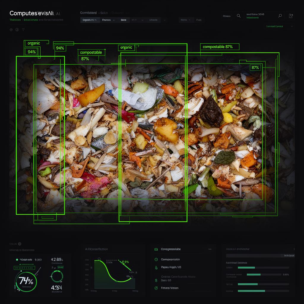

Less waste. More compost.
With precise classification, companies redirect organic waste into composting programs — reducing landfill volume while creating valuable soil amendments.

Satellite imagery captures farmland
High-resolution satellite data provides a continuous view of agricultural regions — mapping crop coverage, biomass density, and land-use changes over time.
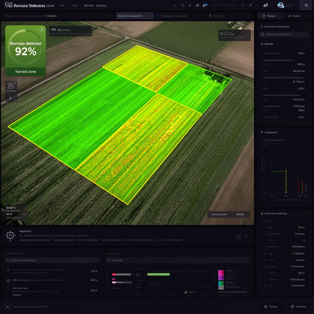
AI detects biomass amount
Computer vision models analyze satellite imagery to detect farmland boundaries, estimate biomass volume, and classify vegetation density — providing quantified data for power generation feedstock.
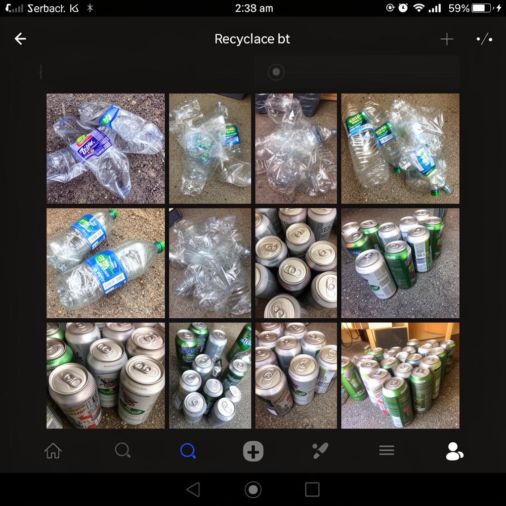
App users upload recycling photos
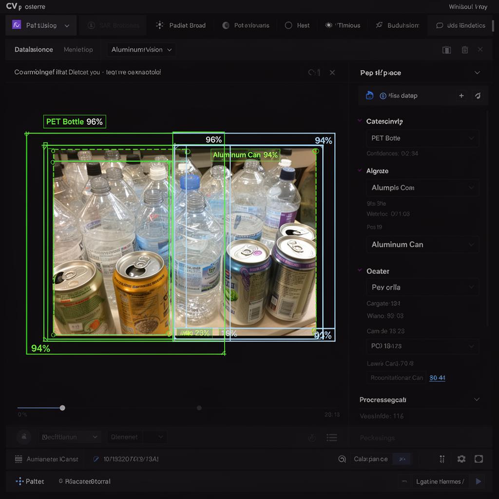
Participants in recycling programs photograph collected plastic bottles and aluminum cans through a mobile app — generating thousands of images that need to be verified and catalogued.
AI evaluates every image at scale
Computer vision automatically detects and classifies objects in each photo — identifying PET bottles, aluminum cans, and contaminants, then organizing verified data into structured project records.